

Arctic blasts? Heavy snowfall? Ice pellets and power outages?
Severe winter weather is sweeping across Canada this week, with many cities under active warnings from Environment Canada.
Environment Canada warns that conditions may change rapidly and advises Canadians to closely monitor forecasts and alerts as this major winter system continues to move across the country.
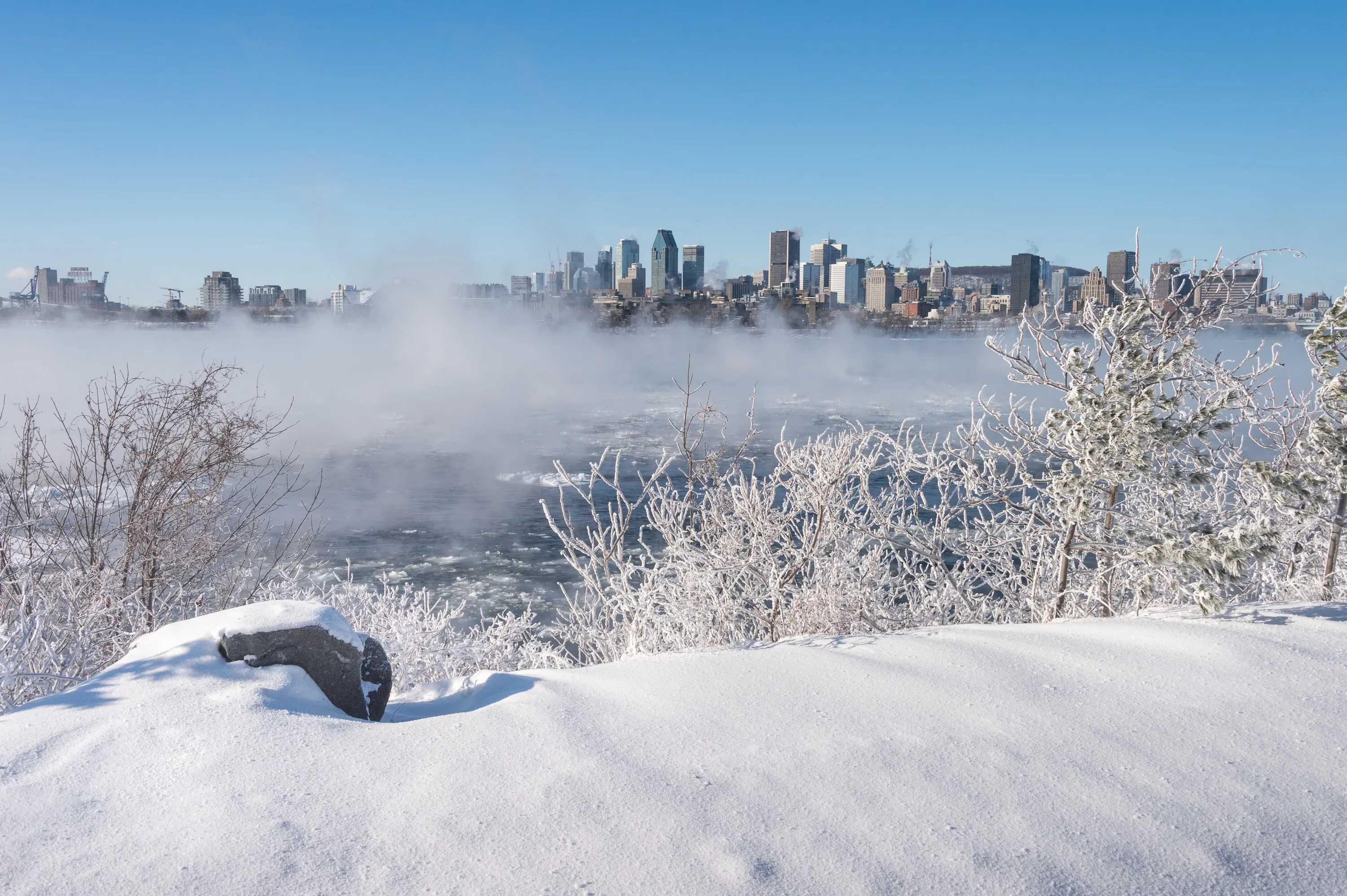
In Quebec, freezing rain warnings and special weather statements are in effect for Greater Montreal, Laval, Montérégie, the Laurentians, Lanaudière and the Outaouais.
Temperatures hovering near the freezing mark could cause rain to turn to freezing rain, creating icy roads and sidewalks, along with an increased risk of power outages and hazardous travel.
Northern Quebec is also facing snowfall watches as the system moves through.
In Ontario, a rapidly intensifying low-pressure system tracking across the Great Lakes is expected to bring a prolonged period of freezing rain starting late Saturday and lasting into Monday morning.
Areas north of Toronto could see five to 10 mm of ice accretion, while communities east of Toronto such as Cobourg and Colborne are also included in the advisory area.
A yellow warning for rainfall was issued for many regions across the province, with total rain and freezing rain amounts up to 40 mm.
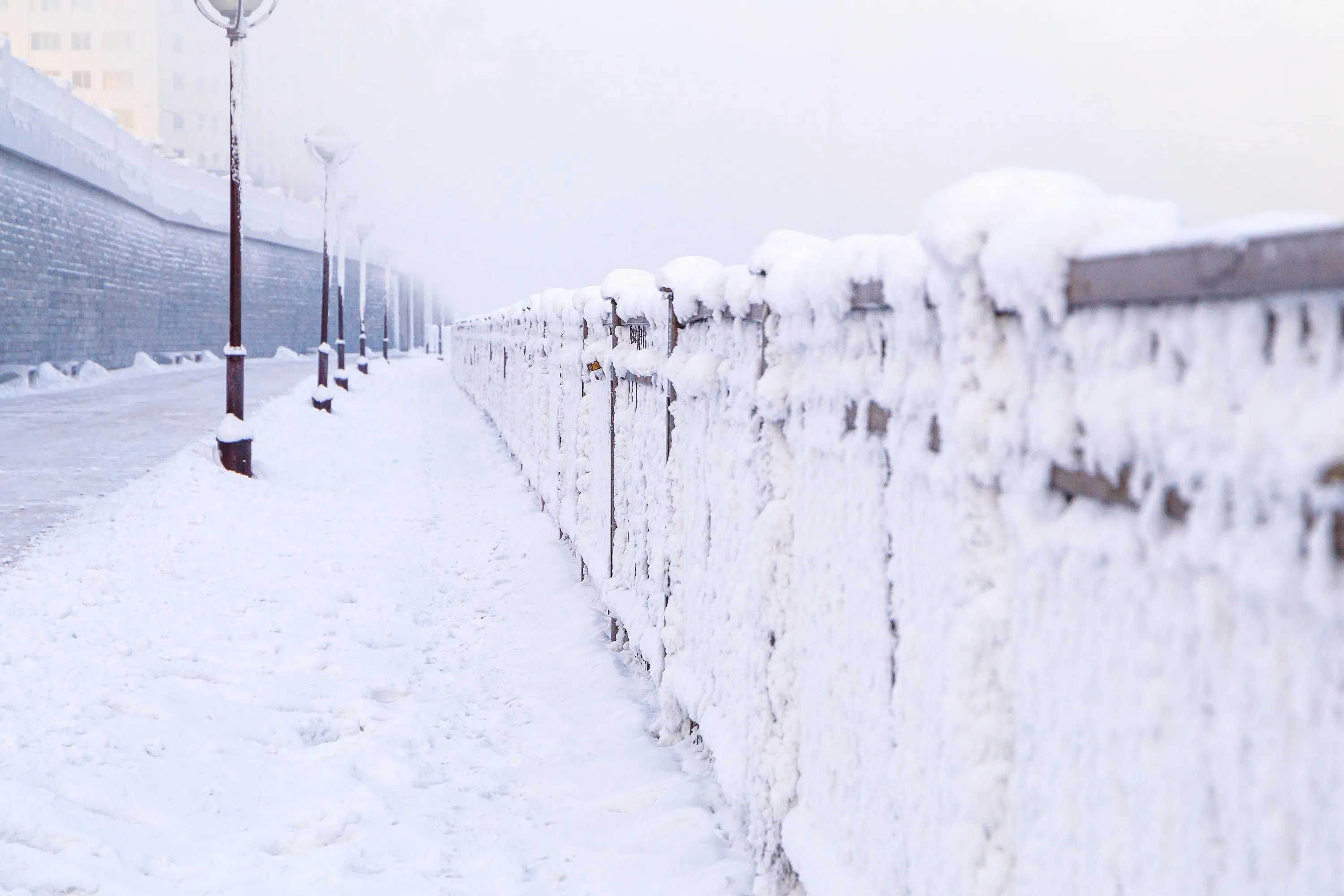
Across the Prairies, Alberta and Saskatchewan are dealing with widespread advisories for blowing snow, reduced visibility and dangerous driving conditions, with blizzard warnings issued in some areas.
In British Columbia, winter weather alerts remain in effect for several interior and mountain regions, where snow and difficult travel conditions are expected.
Further east, Newfoundland and Labrador continues to be hit by a powerful winter storm in Green Bay and White Bay, with up to 60 cm of heavy, wet snow and winds gusting up to 110 km/h expected to continue into early Sunday.
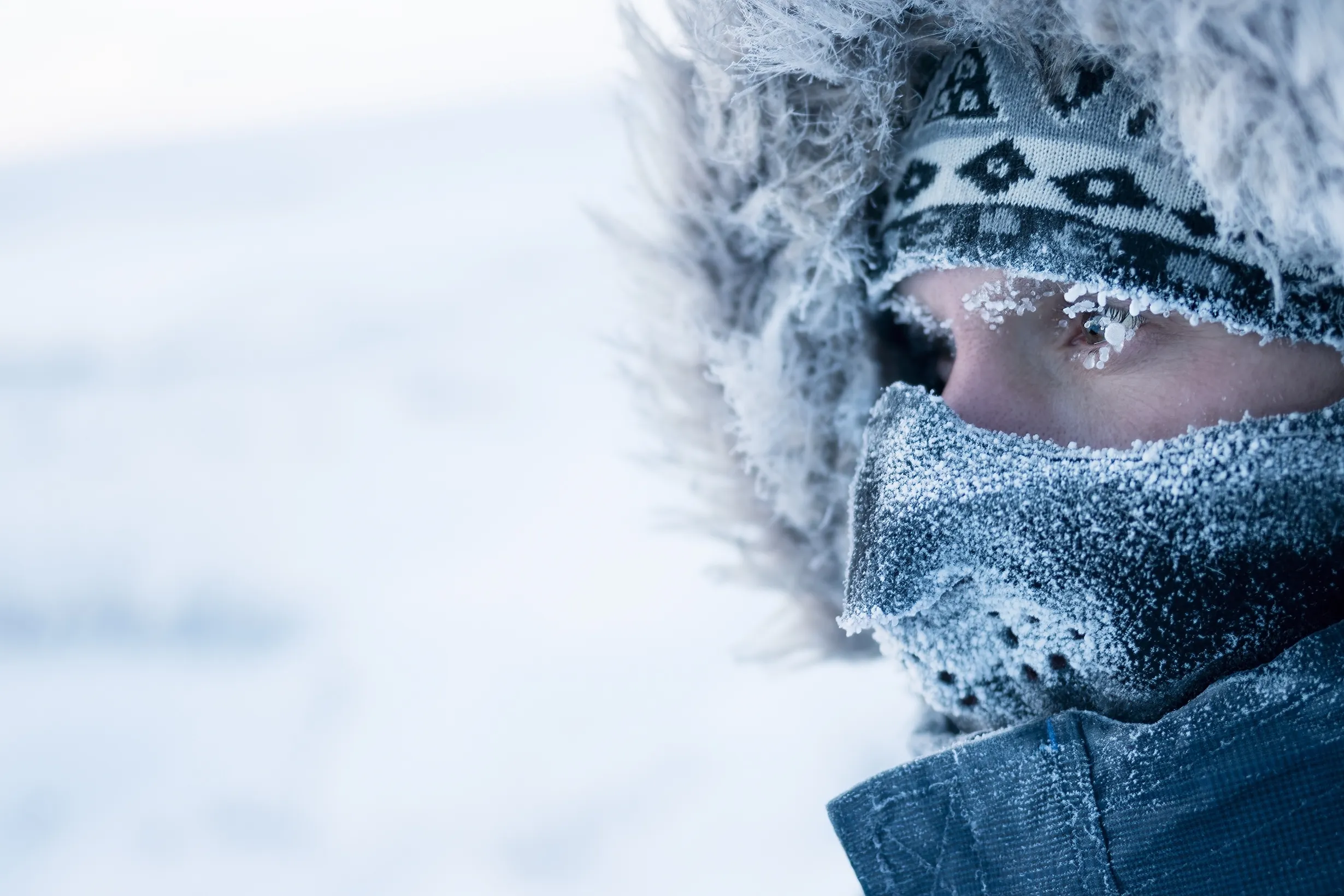
In the North, parts of the Yukon are under extreme cold warnings, with temperatures plunging to near –50°C, prompting officials to urge residents to limit outdoor exposure and take precautions against frostbite.
According to a report by the CBC, Environment Canada issued yellow weather alerts for 11 communities across the Yukon, including Whitehorse, as extreme cold grips the region.
Over the past week, temperatures have plunged dramatically, dropping to –44 C in Whitehorse, –48 C in Pelly Ranch (Fort Selkirk), –50 C in Faro, –45 C in Dawson and –49 C in Carmacks. The alert for Whitehorse also warned that severe wind chills could make it feel closer to –50 C, significantly increasing the risk of frostbite and cold-related exposure.
The Weather Network reported that on Monday, December 22, 2025, Braeburn in Yukon recorded a bone-chilling -55.4°C.
For more information about Environment Canada's updates, click here.
RECOMMENDED:
Full guide to the best things to do in Montreal
Complete guide to the best restaurants in Montreal