[category]
[title]
This always happens on a weekend

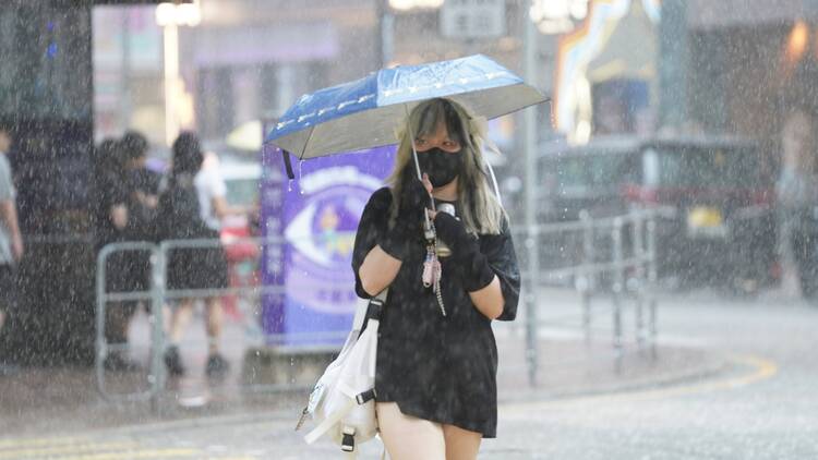
After weeks of oppressively hot weather, we’ve finally been having some respite with the rain cooling things down somewhat. Unfortunately, this does mean there’s a severe tropical storm in place and that our shoes are in great danger of getting soggy whenever we leave the house. According to the Hong Kong Observatory (HKO), the tropical cyclone Wutip is currently about 730 km southwest of Hong Kong.
Currently, the Standby Signal No. 1 is still in effect, as it has been since Wednesday, June 11. It is expected to remain in force for most of today, so we are unlikely to get worse weather than the squally showers we’ve been experiencing over the past couple of days. However, the severe tropical storm is expected to get stronger tomorrow.
The severe tropical storm Wutip is expected to skirt the western coast of Hainan today, then move towards Beibu Wan to the Leizhou Peninsula, maintaining a distance of over 500 km from Hong Kong. It will then turn northeast and make landfall in western Guangdong, edging closer to the Pearl River Estuary over the weekend.
Since the projected trajectory shows Wutip being closest to Hong Kong tomorrow, winds are expected to gradually strengthen over the territories during the day on Saturday, June 14, with wind speeds going up to gale force on higher ground. There will also be occasional heavy squally showers. The HKO will assess between tonight and tomorrow morning if a T3 signal should be hoisted.
Today (June 13) will remain mainly cloudy with squally thunderstorms in between sunny intervals, and temperatures reaching a high of 31 degrees Celsius. There will be heavy squally showers and thunderstorms over the next few days, and it will also be windy with swells. Conditions are likely to be the most rainy and windy on Saturday, June 14, with temperatures dipping to between 26 to 29 degrees Celsius.
As Wutip moves inland over southern China, it is expected to weaken with local winds moderating progressively later in the day on Sunday, June 15. The occasional heavy showers and thunderstorms will still persist into early to midweek next week. When upper-air disturbances depart gradually in the latter part of the week, the rain will ease off and temperatures will rise again from Thursday, June 19.
Since there will be swells, the weather watchdog is urging the public to stay away from the shoreline and to not engage in water sports. Should the typhoon develop further over the region, changes in the weather will be rather substantial, so it would be best to leave the house prepared.
Wutip is a moniker provided by Macau, which is the anglicised pronunciation of ‘butterfly’ in Cantonese. Beats us why they chose to name a violent natural phenomenon after a delicate insect, but at least it’s pretty!
Keep an eye on weather updates on the HKO website.
Stay in the loop: sign up for our free Time Out Hong Kong newsletter for the best of the city, straight to your inbox
Recommended stories:
Blackpink’s ticket sales for their Hong Kong concerts start on June 13
Lady Gaga could be coming to Hong Kong in 2026 for ‘The Mayhem Ball’ Tour
Discover Time Out original video